
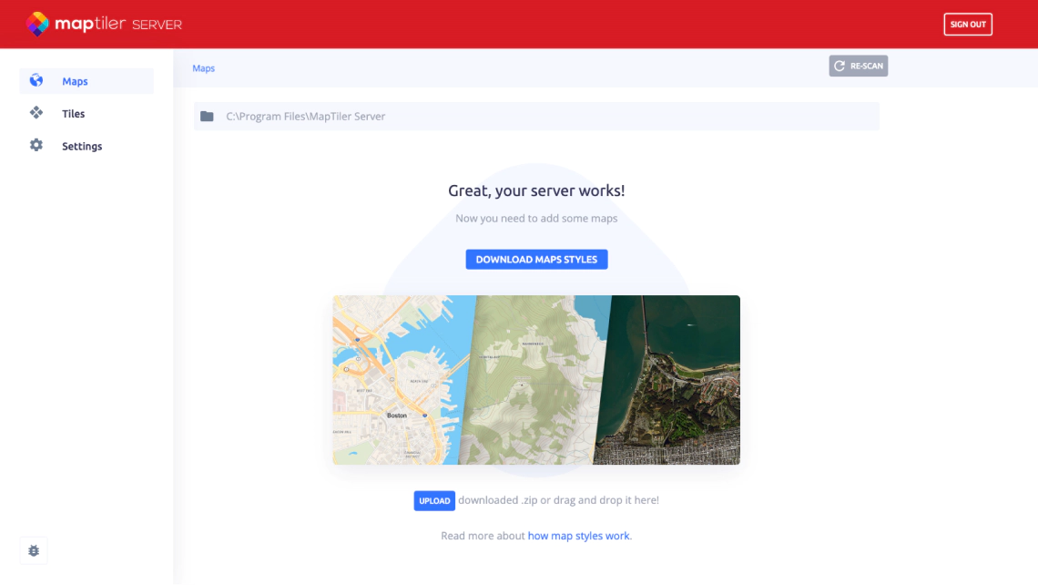
Map server on Windows
Raster tiles for OpenLayers, Leaflet, or GIS software directly from your laptop
Geo server running as a Windows service
Install on any desktop or laptop with Windows 7, 8, 10, 11, or Windows Server.
MapTiler Server runs directly as a Windows service.
ArcGIS Pro & QGIS compatibility
Get WMTS endpoints directly in MapTiler Server for ArcGIS or any other desktop GIS software.
For QGIS, use our dedicated open-source plugin that can load vector tiles.
Read more about QGIS Plugin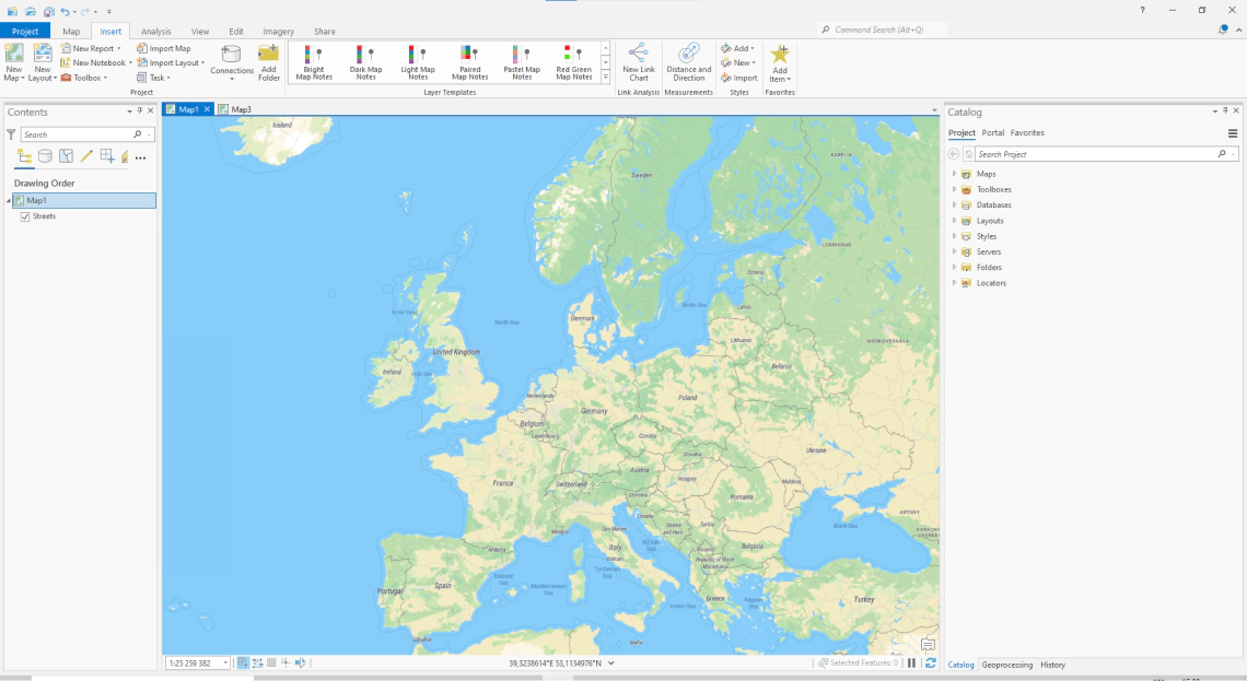
Maps for OpenLayers and Leaflet from a Windows machine
Build web application with any popular JavaScript library by using the XYZ source.
Use vector tiles for modern web apps in combination with the MapLibre library or mobile SDKs.

Ready to use basemaps for self-hosting
Street and satellite maps of the entire world


Available as:


Raster tiles
Leaflet, OpenLayers, XYZ

Map services
WMTS for QGIS or ArcGIS

Static maps
Image for thumbnails
Linux
- Ubuntu 20.04+ (primary support)
- Debian 10 (tested)
- RHEL 8 (tested)
- Fedora 37+ (tested)
- Centos 9+
- Mint 6 or 20+
Windows
- Windows 10+
- Windows Server 2019+
macOS 10.15+
(without map rasterization, limited support)
Docker
- MBTiles, GeoPackage
- WMTS
- WMS (only with commercial license)
- TileJSON
Tiles
- raster .mbtiles *
- vector .mbtiles *
- raster .geopackage *
- quantized mesh terrain (3D) .geopackage *
- tiles from PostGIS geometries
- free version supports only tiles from MapTiler Data or produced by MapTiler Engine
Maps
- Mapbox style
Tiles
- complete EPSG database + custom defined SRS via Proj4. Over 6000 systems world-wide
Maps
- Mercator sources only
Tiles serving
- 2 CPUs
- 2GB RAM
- 200MB disc free capacity for installation (additional for tiles)
Maps rasterization (whole planet)
- 4 CPUs
- 16GB RAM
- 100GB for tiles, fonts and other assets Read more about the performance tips here.
Raw rasterization performance is approx 3 tiles/sec on single core and Server does not solve caching by its own. Therefore setting a reverse proxy cache in production is highly recommended. Rasterization performance can be tuned in server settings/rasterization. Setting renderer pool size higher than CPUs count can slightly increase throughput but beware that every renderer allocates its own memory space.
- Google Earth
- ArcGIS for Desktop
- QGIS (Quantum GIS)
- Tableau
- uDIG
- any viewer supporting OGC WMTS
- Google Maps SDK for iOS
- Google Maps SDK for Android
- MapLibre iOS SDK
- MapLibre Android SDK
- Apple MapKit
- RouteMe
- OSMDroid
- any viewer supporting OGC WMTS or TileJSON
Free
- Only reads data downloaded from MapTiler Data or data made with MapTiler Engine
- Rasterization with watermark
- Rendering from PostgreSQL limited to 1 layer only
Commercial
- Reads any MBTiles or GeoPackage data
- Rasterization without watermark
- Unlimited layers from PostgreSQL
- Admin API available
- WMS/Static Maps available
Read latest news about MapTiler Server

Try MapTiler Server now!
Available for Windows, macOS , Linux, and Docker as a single file installer.