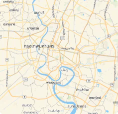
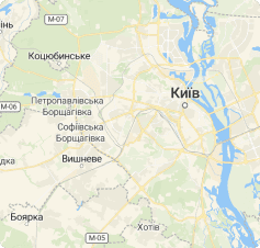
Streets map for transportation
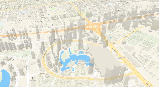
First-class map with highlighted transportation network with 3D cities.
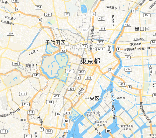
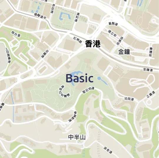
The right information at every scale
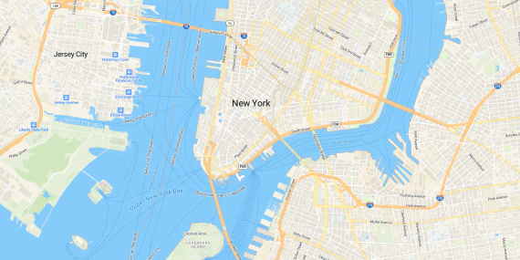
Up-to-date information shows up as you zoom in on the map.
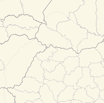
Administrative boundaries
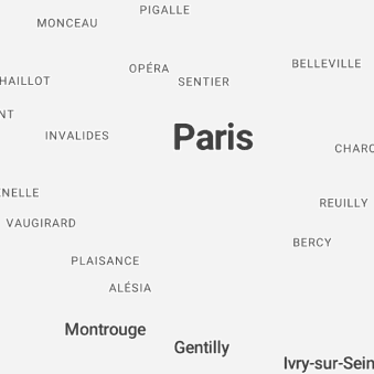
Named places
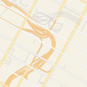
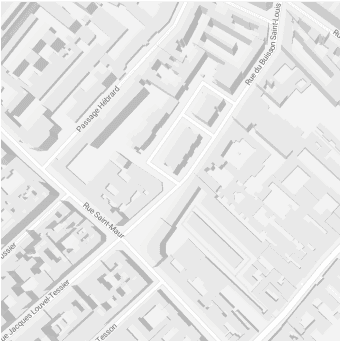
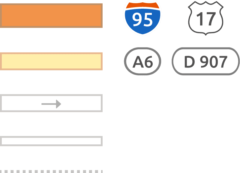
Road Network
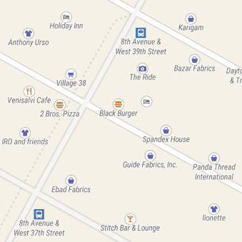
Points of interest
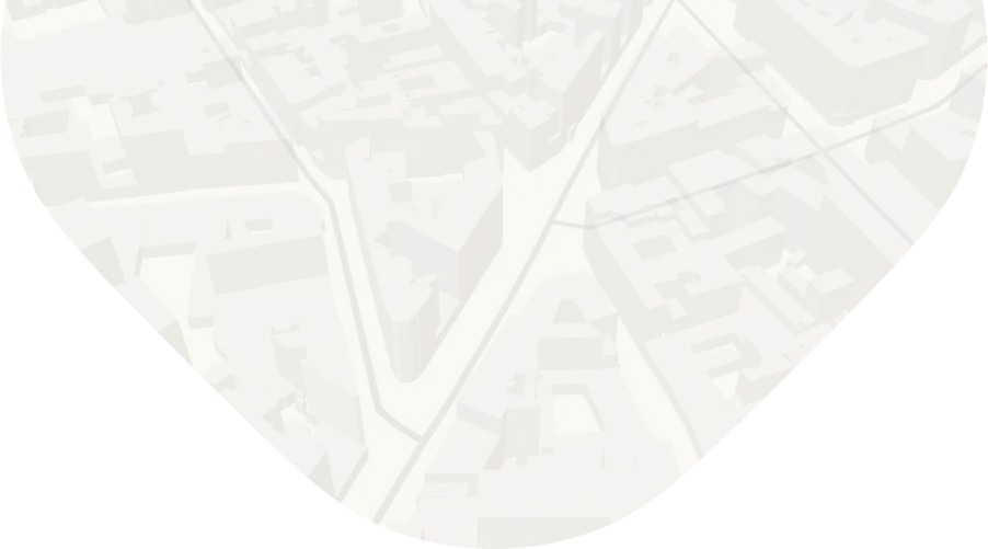
3D cities
Find your way in 3D cities
Explore any territory, metropolitan area, or transportation network with MapTiler Streets.
Easy-to-read cartography and high-contrast colors help you navigate through complex cityscapes.
Street names, house numbers, and buildings footprints provide the map reader with a detailed neighborhood representation.
Cartographic assets
MapTiler Streets uses a balanced palette of vibrant colors resulting in a fresh and joyful look n’ feel.

Highways, lanes, and paths are represented with a clear hierarchy making the roads network easy to understand.
Selected points of interest are displayed at each zoom level with meaningful colored icons.
Place names are rendered with the Ubuntu font family with different weights for easy-to-read map labels.

Multilingual
Use MapTiler Streets in the language of your audience. More than 70 languages are supported.
Available as:


Other map styles


Start using Streets via Maps API
https://api.maptiler.com/maps/streets-v2/?key=YOUR-API-KEY