
Map data for self-hosting
Ready-to-use open geospatial map data, processed and packaged for your next on-premises project. Available as vector/raster tiles and in GIS formats.
Self-hosting solution
Do you need maps in your secure application? Or even completely offline? MapTiler Data packages are the right solution for you.
Trusted by map developers from:

Browse our maps datasets
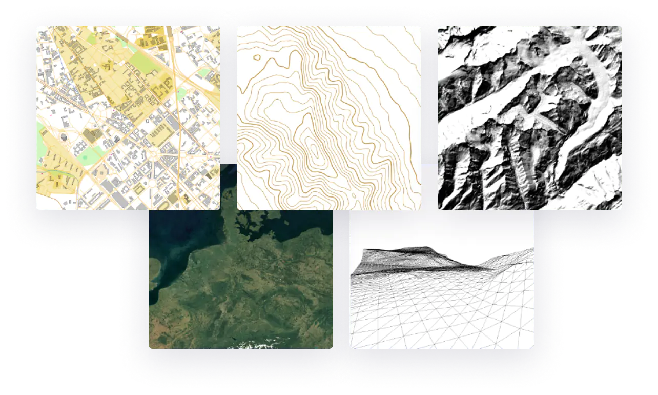
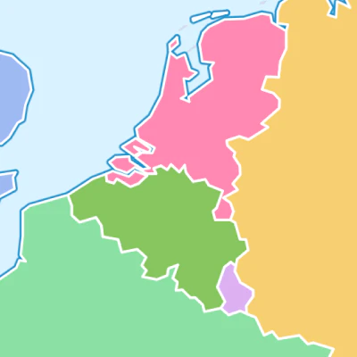
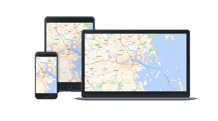
OpenStreetMap basemaps
Map package with a regularly updated global dataset. It contains street data with more than 7 billion objects.
download data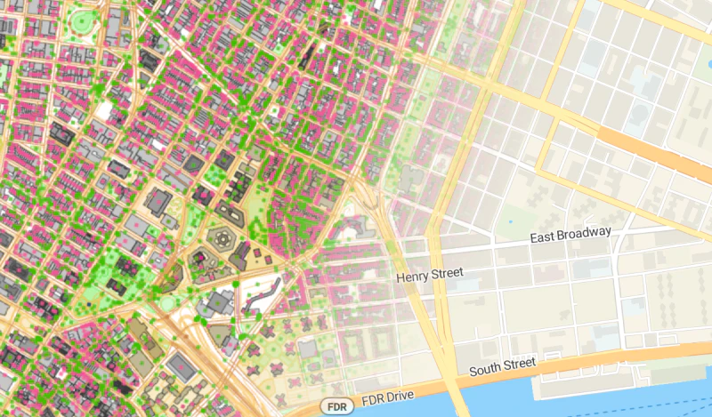
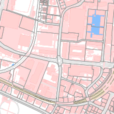
Satellite & orthophoto on-prem
Global seamless satellite and aerial imagery with a resolution locally up to 8cm per pixel.
download dataRead more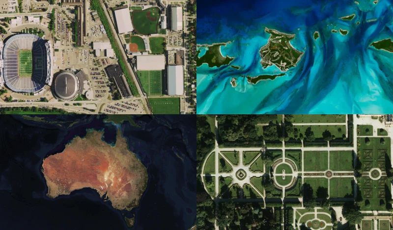
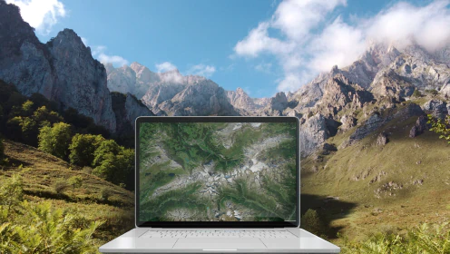
Terrain data for self-hosting
Ready-to-use Terrain RGB for DEM, Quantized Mesh for 3D Cesium JS, Hillshade, and Contour lines of the entire world with a resolution of 30x30 meters.
Download dataRead more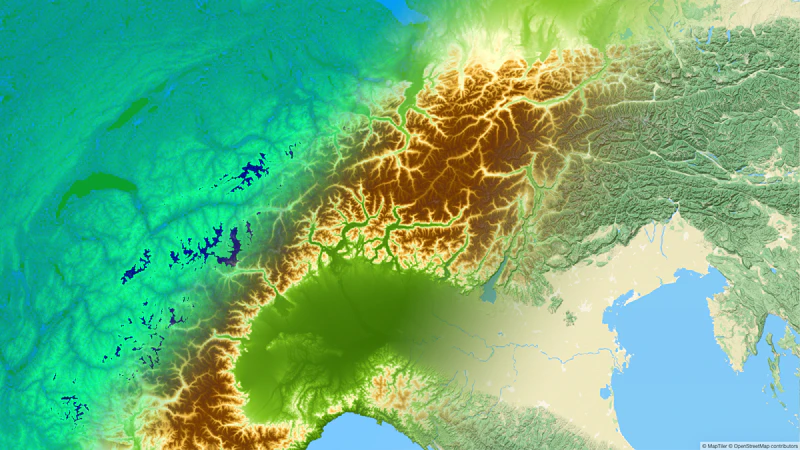
Outdoor
Maps for outdoor sports like hiking, cycling, cross-country skiing, and related activities.
Learn more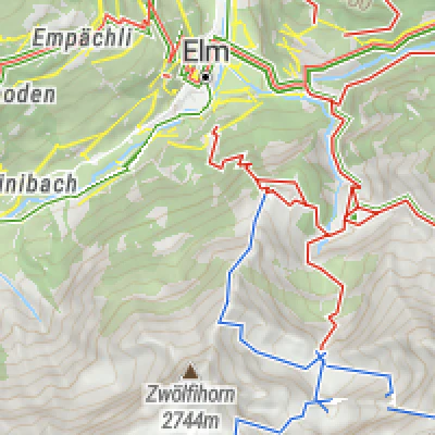
Have you heard about MapTiler Cloud?
The easiest and most affordable way to get maps in your web & mobile applications.
5 main advantages:
- Lower price
- Automatically up-to-date
- All premium maps available to everybody
- No setup
- No administration
MapTiler Cloud
For web and mobile applications
Server & Data
For maps behind firewall or offline