
Static Maps API
Generate a static map and use it anywhere you would a regular image. Available in any paid plan.
Previews
Show the surroundings of the flat you're offering
Notifications
Notify your users when they reach their tram stop
Receipts
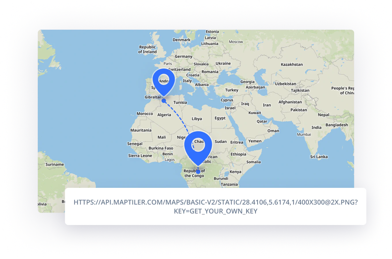
Print flight overview on online receipts
Fallbacks
For browsers not supporting WebGL
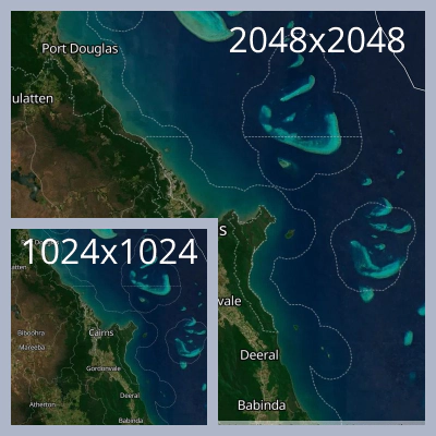
Great on every screen
Resolution up to 2048x2048 px or 1024x1024 px for retina displays.
Always show the right area
View definition by autofitting or Center based URL or bound-based URL.
Read API reference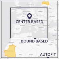
Combinable with your data
Overlay map with points, lines, and polygons with a path query parameter.
Easy with Client JS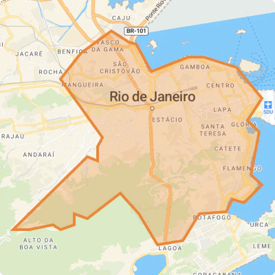
Always updated
Dynamic maps styles reflect any change in custom map style on static images.
How to make a custom map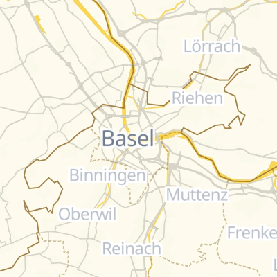
On load performance
Show a map image while your interactive map is still loading. The median server response time of static maps images is around 80 ms.
Read more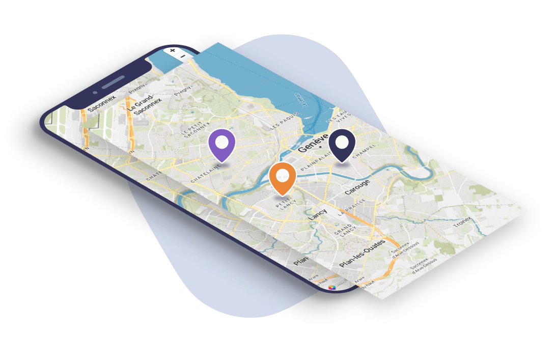
Generate static images
Combine parameters visually. You can replace them with variables controlled by your app and create thousands of unique pictures.
GENERATE VISUALYUse in MapTiler Server