Geocoding API for place name search
Find any place on Earth (states, cities, streets down to the address level etc.) or find a place name for your coordinates.
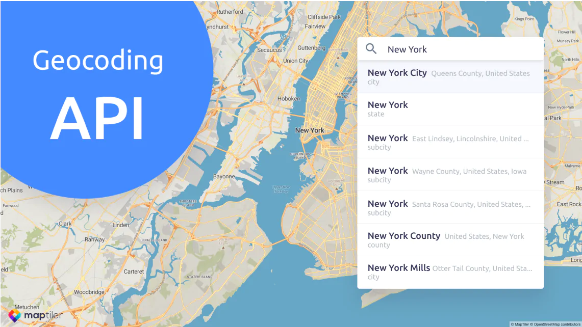
Place and addresses search
Transform place or address to geographical coordinates (forward geocoding) and vice versa (reverse geocoding).
Search the database for locations
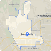
Administrative units
Named places
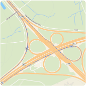
Roads
Addresses
Postal codes
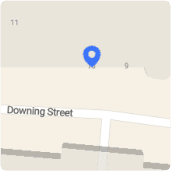
Reverse geocoding
Get a human-readable place name for the given coordinates. Using this part of the MapTiler API, you can share information about locations identified via mouse clicks or GPS track devices.
API referenceExample
Autocomplete
With this feature, your mapping application can help your users to predict the rest of a word - or part of an address that he types into the input field.
Address and place search auto-completion can easily integrate your map using our JavaScript component.
Read documentationHow to use MapTiler Geocoding?

REST API
Directly query the MapTiler Geocoding API using REST interface. Read the Reference Documentation. Use these examples:
Client JS
A Headless JavaScript library utilizing the MapTiler API. Client JS simplifies access to the MapTiler geocoding API.
Geocoding control
The Graphical JavaScript/TypeScript component for Leaflet, MapTiler SDK, and any mapping library built on Client JS.
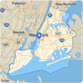
Search locally with a bounding box or proximity
Get search results only from the area specified by a bounding box.
Classify search results based on the proximity from you or distance from a defined area.
Bounding box exampleProximity example
Filter results by type
Set your application to return only the relevant results with a place type filter. You can use types including County, Neighborhood, Place, or Point of Interest.
API Reference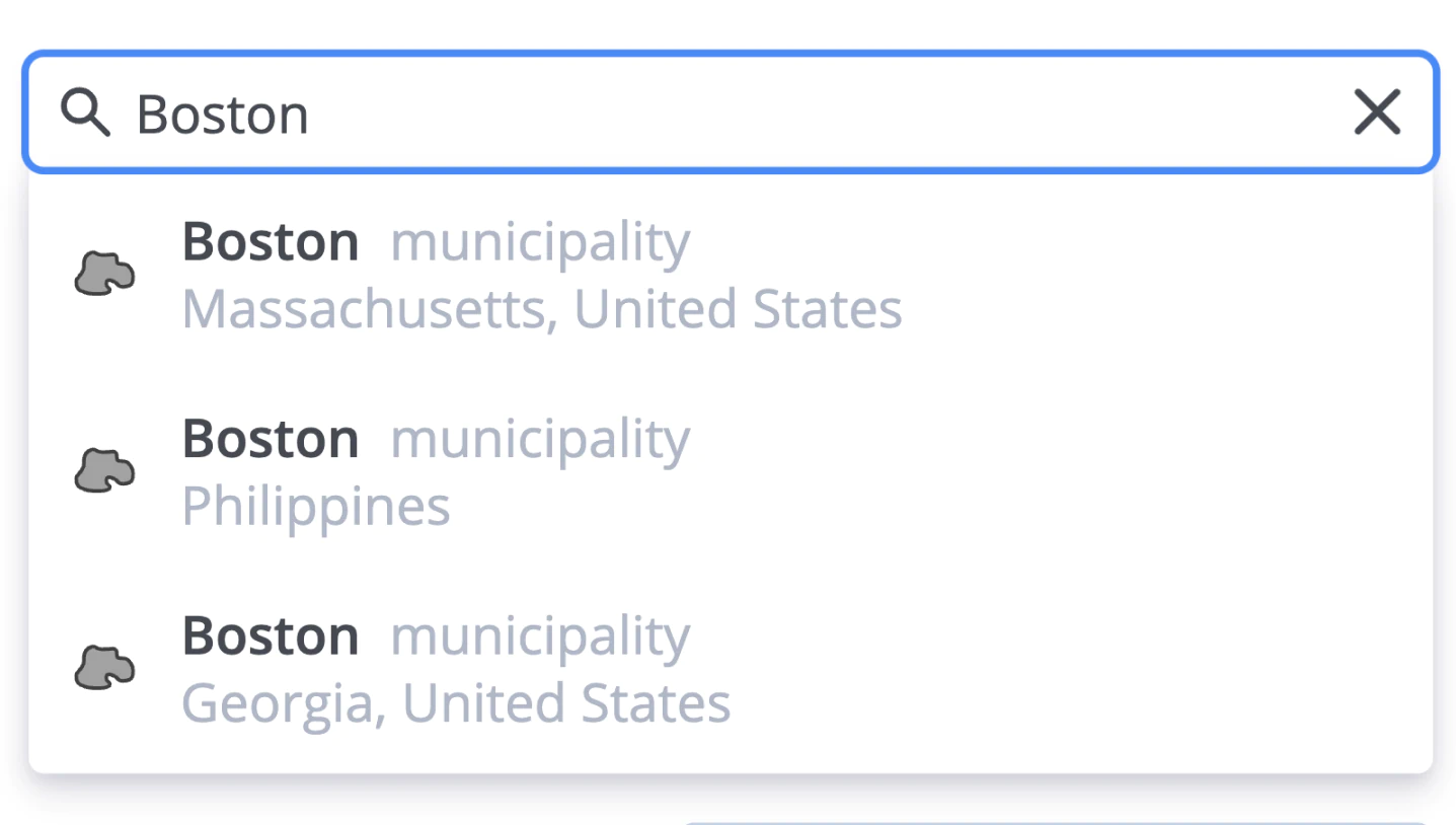
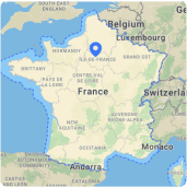
Country-aware search
The output of the search can be limited to a specific region. Focus search on the region will give more precise results faster.
Example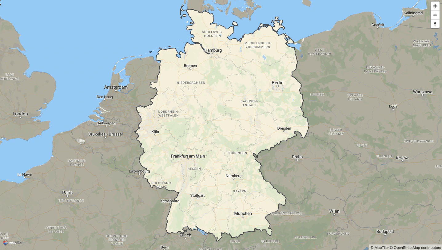
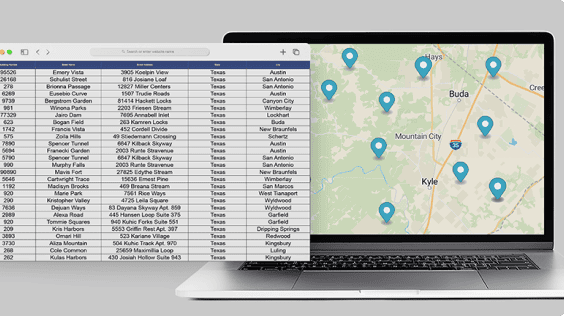
Bulk address lookup with batch geocoding
Lookup multiple addresses in a single request thanks to the power of batch geocoding. Turn text files with addresses into coordinates in bulk.
Read documentation