
Hosting for spatial data
Global web based GIS hosting for large tiled geodata (MBTiles, GeoPackage) on reliable infrastructure.
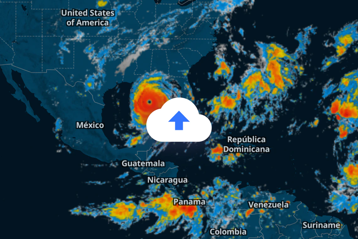
Terabytes of storage
Upload tiled vector or raster datasets of any size, from a few points to huge analytical datasets.
Sign up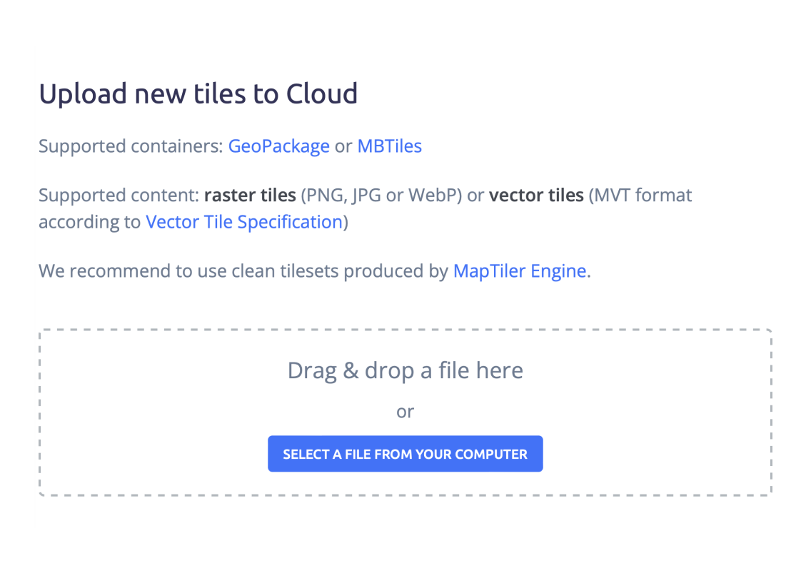
API for data upload
Automate bulk upload of geographical data.
Upload map tiles from a command line or connect to your applications.
Read documentation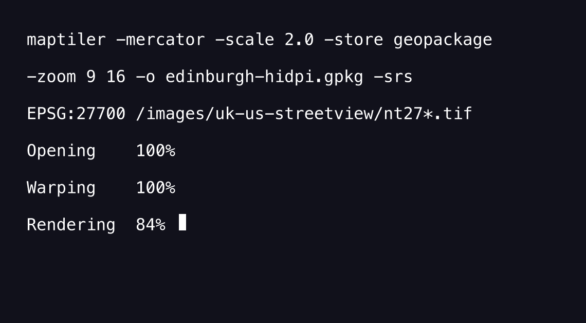
Integrate into your maps
Display your spatial data on top of our maps.
Publish them together using Leaflet, OpenLayers, or MapTiler SDK on web.
For mobile phones, use Android & iOS SDKs.
Read documentation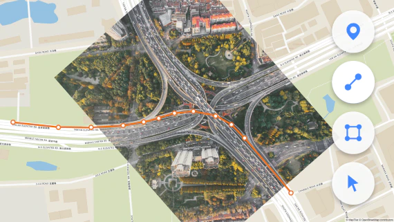
Use on web or in GIS
Display your data using standard web JavaScript libraries, mobile SDKs, or load in desktop GIS software using XYZ, TileJSON or WMTS endponits.
Learn how to use maps with JavaScript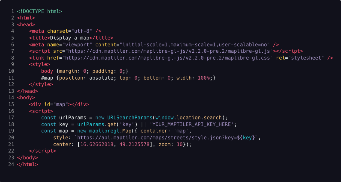
Try MapTiler Cloud now!
Free account for personal use and evaluation.
API documentation for developers.