Do you have data in a live database - updating all the time - that you want turn into a map? The new version of MapTiler Server can easily connect to any PostGIS database and load data as map tiles.
Live maps directly from PostGIS
Information is being logged in the real world all the time, like readings taken by field agents or logs from IoT devices, and it is easier to store and maintain these in databases. However, suppose you want to visualize these changes quickly and efficiently through a map interface. To do this, you probably need software to turn your dataset into proper map tiles before they can be displayed.
The newly released version of MapTiler Server can connect to any PostGIS database. All you need to do is select which features you want to show, and the software displays them as map tiles, together with a basemap or as a separate layer.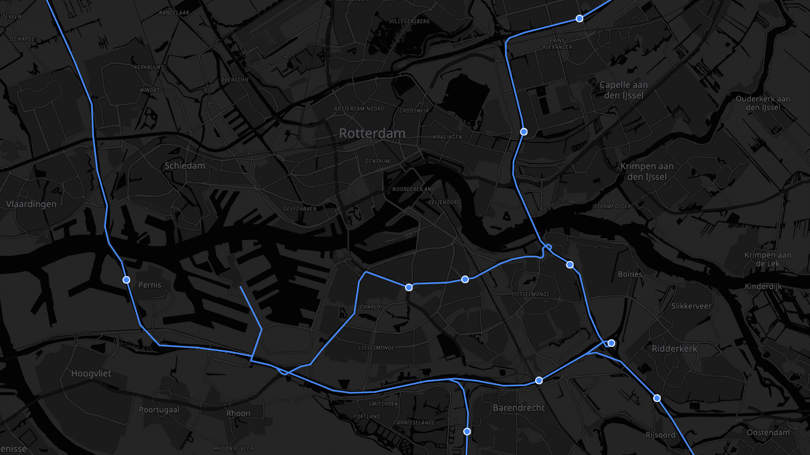
3 easy steps to connect your PostgreSQL database
Connecting to any running Postgres database is as simple as:
- Scanning tables in your database
- Picking your attributes
- Adding it to your map
The entire process is so straightforward that even staff with absolutely no database experience can do it. However, advanced users can still utilize the full power of SQL queries to refine the data to put onto the map.
Self-hosted maps from Windows, Linux, Mac, and Docker
MapTiler Server can turn any Windows, Linux, or Mac laptop into a map server, one that will support vector tiles for modern web & mobile SDKs and up-to-date GIS software. Rasterization for older GIS software/web libraries is supported directly on Windows and Linux, and is possible via Docker image on a Mac.
DOWNLOAD FOR FREE READ DOCUMENTATION