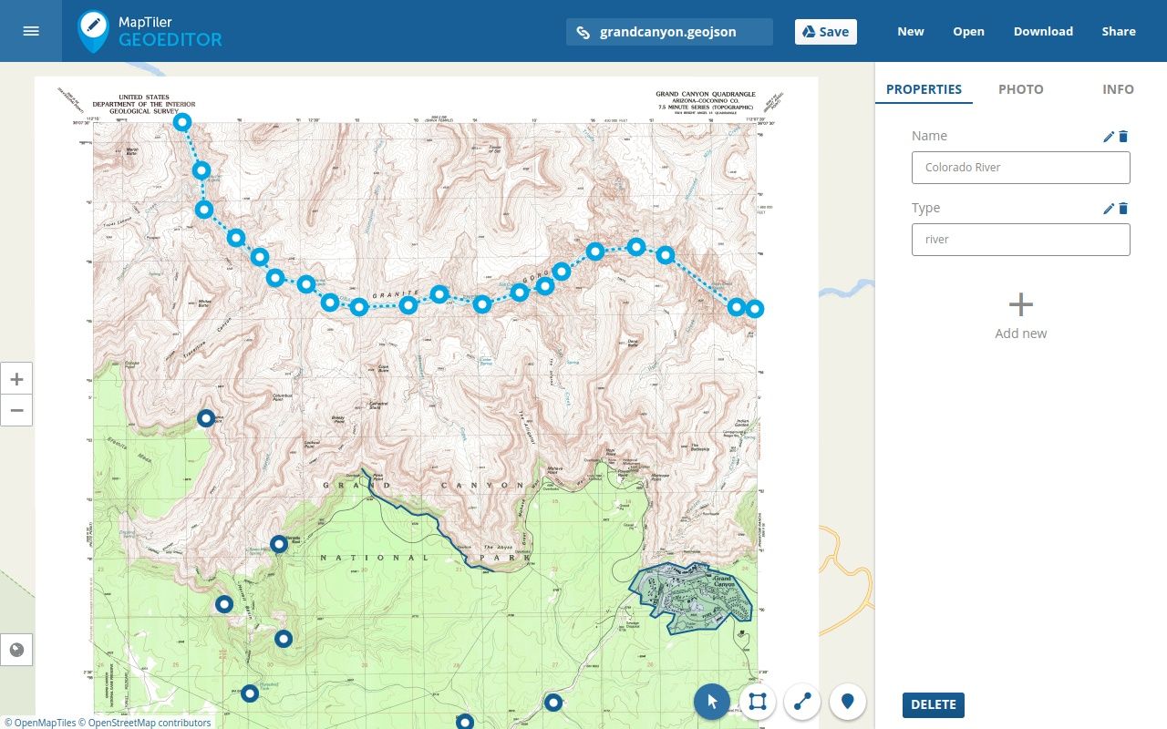
GeoEditor for web is a simple online app for collaborative creating and editing of basic geographical data - just draw points, polygons and lines on top of the maps directly in a web browser. For every shape, you can record additional information or attach a photo.
This web app is great for a review of the field data collected with the GeoEditor mobile app and it can help to share the data, save it to your desktop, reuse it in GIS software or web applications.
It is also perfect if you want to load your existing online maps made with MapTiler Desktop and draw on top of these.
Main features
- Collaborative editing of features on top of maps - real time synchronisation of multiple people working on the same data - great for teamwork or classroom
- Displays two maps at the same time (foreground overlay and background layer)
- Custom attributes, attached photos
- Drag&drop into the web app any GPX, TopoJSON, GeoJSON, etc.
- GeoJSON as the main storage format - with direct preview and editing by end users
- Integrated with MapTiler Desktop default map viewer (one click in “Edit” tab)
- Draw on top of map tiles in any coordinate system/projection
- Made with OpenLayers JavaScript library
- Supports OpenStreetMap vector tiles base maps from OpenMapTiles
- The simplest way how to extract features and later on add interactive hotspots to raster map tiles with Leaflet or OpenLayers!
Google Drive app
We implemented GeoEditor also as a Google Drive app for quick display of GeoJSON from your Drive. Add it to your account from the Chrome Web Store.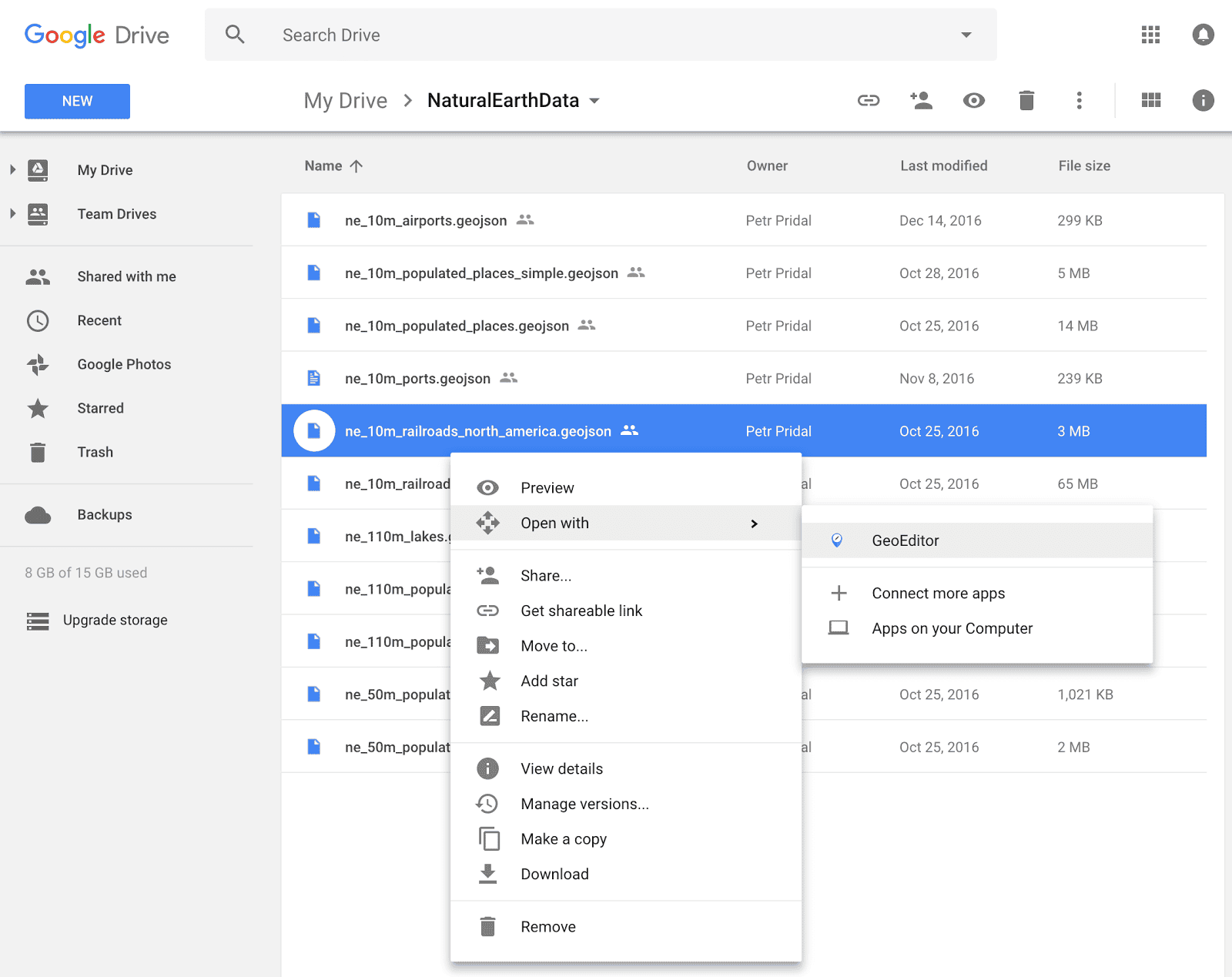
GeoEditor in action
See the YouTube video with the recording of a real-time session of multiple users digitising buildings on an old map of London:
So now just try the GeoEditor online web application.