
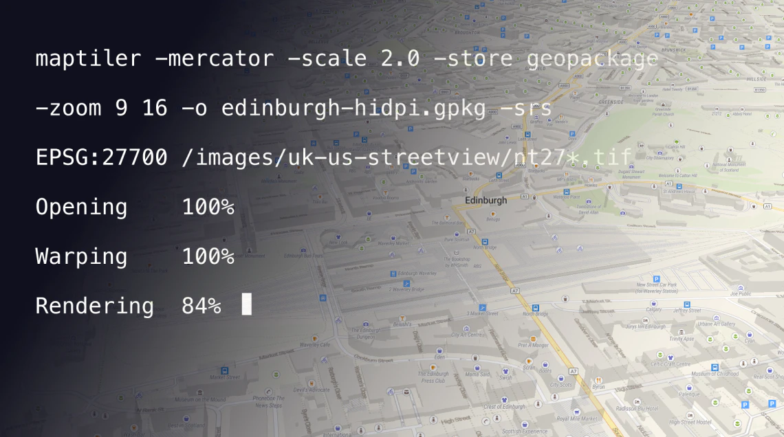
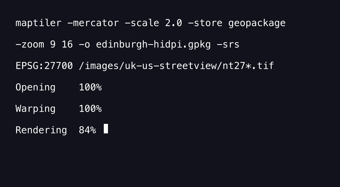
Command line for automated map tiling
Create automated workflows with the full power of MapTiler Engine
Features of MapTiler Engine
Fast data processing
Utilize the full power of your computer to turn the data into maps.

Freedom of map hosting
Host your maps wherever you want: on your server, in the cloud, behind a firewall, or even offline.

Your data is protected
Control where your data is processed: on your infrastructure, in a private or public cloud.

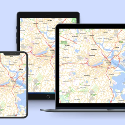
Web and mobile ready
Display maps on the web or in your application. Use on Android, iOS, or in desktop GIS.
MapTiler Engine can power your products
Use the command line for calling MapTiler Engine from your software. Examples and technical details are available in the manual. MapTiler Engine can be integrated and distributed as a part of your product.
Docker
MapTiler Engine application with all its dependencies is available as a Docker container. Install MapTiler Engine on any Linux system with the following command:
docker run -ti --rm -v $(pwd):/data
maptiler/engine maptiler -o outputdir input.tif
For detailed information, continue to Docker Hub.

- Windows 7+
- Windows Server 2008 R2 or newer
- macOS 10.12+
- Linux 64bit Debian, Ubuntu, RedHat, Fedora
Raster to raster
- TIFF/GeoTIFF, MrSID, ECW, JPEG2000/GeoJP2, Erdas HFA, NOAA BSB/KAP, NOAA GFS, HRRR, ECMWF, Ozi Explorer OZF2/OZFx3, JPEG, GIF, PNG, GRIB2, NetCDF
- TIFF with RGB color model, partly supported CMYK
- 8bit or 16bit integer per band, 1, 3 or 4 bands
Vector to vector
- ESRI Shapefile, GeoJSON, GeoPackage, KML, GPX
Vector to raster
- GeoPDF
- Folder
- MBTiles
- OGC GeoPackage
- OGC KML
- WMTS, TMS
- MBTiles, GeoPackage
- TileJSON
- KML
- Complete EPSG database + custom defined SRS via Proj4. Over 6000 systems world-wide.
- Google Earth
- ArcGIS for Desktop
- QGIS (Quantum GIS)
- uDIG
- any viewer supporting OGC WMTS
- Google Maps SDK for iOS
- Google Maps SDK for Android
- MapLibre iOS SDK
- MapLibre Android SDK
- Apple MapKit
- RouteMe
- OSMDroid
- any viewer supporting OGC WMTS or TileJSON
- Garmin Custom Maps KMZ
- MapTiler Mobile
- Locus
- MotionX GPS
- MapTiler Server
- direct upload to any webhosting
- PHP hosting with TileServer-PHP
- MapTiler Cloud (with direct upload)
- Amazon S3 (with direct upload)
- Google Cloud Storage (with direct upload)
- Microsoft Azure (with direct upload)
- Mapbox hosting
- Rackspace Cloud Files
- clipping with a cutline (pixel coordinates)
- clipping with a shape (SHP)
- merge multiple input files to produce a seamless map (MapTiler Engine Pro only)
- different maps on different zoom levels (MapTiler Engine Pro only)
- color corrections (MapTiler Engine Pro only)
Download MapTiler Engine
Get your own copy of MapTiler Engine and start turning tiling your data into maps for free!